

Practical Guide
Getting Around Northern Nevada: Commute Times, Transit, and Winter Drives
New residents almost always ask how far apart the towns really are before they commit to a house. This post lays out the verified 2026 commute math for the Reno-Carson-Tahoe triangle, the bus networks that actually connect the towns, and what winter roads add to the equation, so you can plan your move around a real drive, not a guess.
The Commute Times That Matter
Drive-time tools and local reporting agree closely on these numbers for normal traffic, one way. Your actual week will vary with weather and rush hour, but start here:
Carson City to Reno: about 35 to 40 minutes on I-580 and US-395, roughly 30 to 32 miles. Commuters report closer to 30 minutes in the early morning and up to 45 in the evening return.
Minden or Gardnerville to Reno: about 53 to 55 minutes for the 45 to 51 mile drive up US-395, with rush hour in the Reno stretch adding time.
Carson City to South Lake Tahoe: about 45 minutes for roughly 28 miles on US-50 over Spooner Summit. Speeds run low, and winter can add significant time.
South Lake Tahoe to Reno: about 1 hour 10 to 25 minutes for 58 to 64 miles. Incline Village to Reno: about 45 to 55 minutes for 33 to 37 miles over the Mt. Rose Highway.
Reno to Sacramento: about 2 hours 5 to 15 minutes on I-80, roughly 132 miles. That is the drive most transplants make when they head back to California for a visit or a commute one or two days a week.
Yes, There Is Transit: The Bus Networks
The honest headline is that a car is still the default in this region; the winter you will be driving most places yourself. But public transit is real, improving, and far cheaper than it used to be:
Reno and Sparks (RTC RIDE): about 21 fixed bus routes across the metro area, plus the FlexRIDE on-demand service. The Regional Connector (route CRSN) links Reno to Carson City on weekdays, and its one-way fare dropped from $5 to $2 on June 1, 2026, with a free transfer to Carson City's local bus.
Carson City (JAC, Jump Around Carson): four fixed routes running weekdays 6:30 am to 7:30 pm and Saturdays 8:30 am to 4:30 pm, hourly from the Downtown Transfer Plaza. Fares run $1.50 for adults and 75 cents reduced, with a $40 monthly pass, door-to-door JAC Assist paratransit at $3 a trip, and free rides for seniors 60 and older through the city's Senior Citizen Bus Pass program.
Lake Tahoe (BlueGO): the Tahoe Transportation District runs the South and East Shore routes, and every route is zero-fare, including the Lake Link on-demand microtransit. The East Shore Express runs summertime, June 21 to September 12 in 2026, and routes 19X and 21X connect Stateline, the Carson Valley, and Carson City over Kingsbury Grade and Spooner Summit.
North and West Shore (TART): the Tahoe Truckee Area Regional Transit mainline, Highway 89, and Highway 267 routes are free, connecting Truckee, Tahoe City, Incline Village, Olympic Valley, Palisades Tahoe, and Northstar, with the TART Connect microtransit and an airport shuttle besides. Truckee's Dial-a-Ride runs $6 one-way, with reduced fares for seniors and disabled riders.
If you are choosing a home on the basis of transit, the Reno to Carson City Regional Connector and free Tahoe routes are the two anchors worth planning around. Everything is on the moving checklist, and the first 30 days in Nevada guide covers the order of operations around your move.
Winter Changes the Math
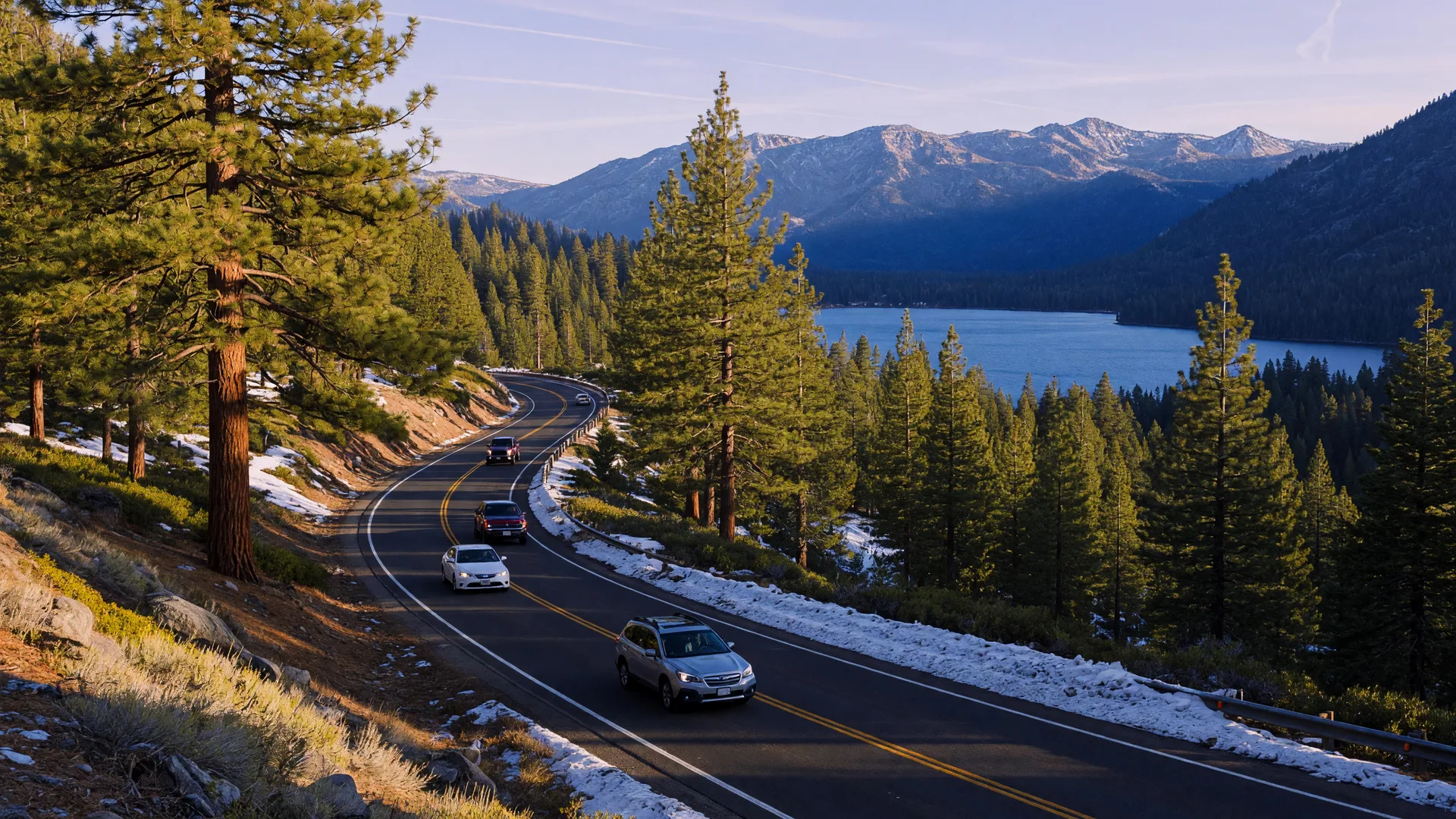
Sierra passes are beautiful and they are also work. Chain controls on I-80 and US-50 work in three levels, R-1, R-2, and R-3, and the rules allow checkpoints where even all-wheel-drive vehicles must carry chains. The speed limit inside controls is 30 mph, and the Mt. Rose Highway and Spooner Summit can close entirely in heavy weather. Our Sierra winter driving guide spells out the levels, the carry-chains rule, and where checkpoints sit, and it is worth reading before your first storm, not during one.
Winter also changes the insurance and registration paperwork that has to be sorted in your first 30 days. The car registration guide, the driver's license guide, and the auto insurance comparison walk through each one so you are legal before the snow flies.
Plan Your Week Before You Pick Your Town
The right commute depends on where the work, the errands, and the recreation actually are. A Reno job with a Carson Valley address is 55 minutes each way in good weather, which is a real choice. A Tahoe lifestyle with a Carson City job is 45 minutes over Spooner on snow days. Plot your three most common drives, then look at the Where to Live guide with that map in front of you. And when you are ready, the FAQ for California transplants answers the questions this guide raises, from chain requirements to winter insurance.
Distances and times above come from current drive-time tools and the published transit schedules cited in the guide, and schedules do change with the seasons, so confirm the current timetable before you plan a daily commute. If you want help matching a community to your actual drive, book a free relocation consultation and we will map it out together.

Dennis Lindsay
Broker Associate · 40+ Years in Northern Nevada
Licensed in both California and Nevada, Dennis has helped over 800 families make the move from California to Northern Nevada. Call him at (530) 318-2369.
Tell Me Where You Need to Be
Share your work location and daily drive, and I'll recommend the Northern Nevada communities where the commute actually works.